Map it. Move it. Own it.
Plan a route on real streets and trails, record it, and share it with the people who move with you.
 Download on theApp StoreComing soon onGoogle Play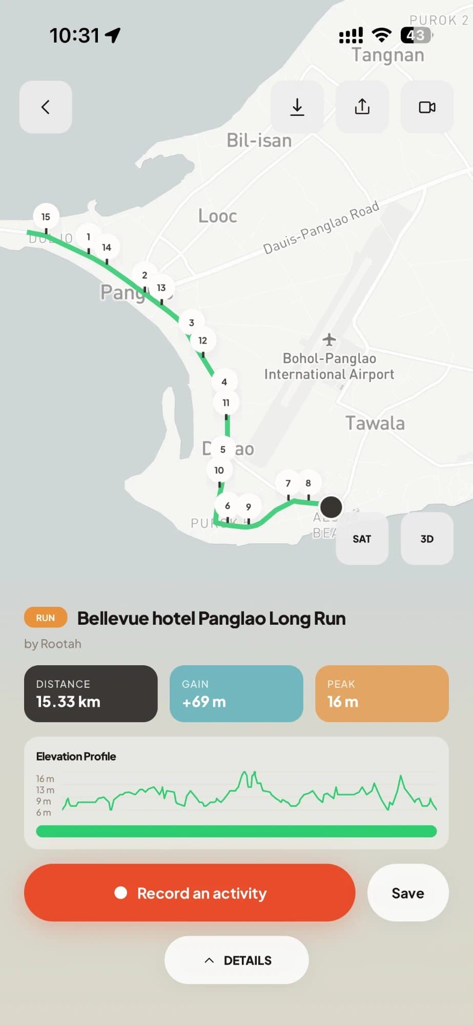
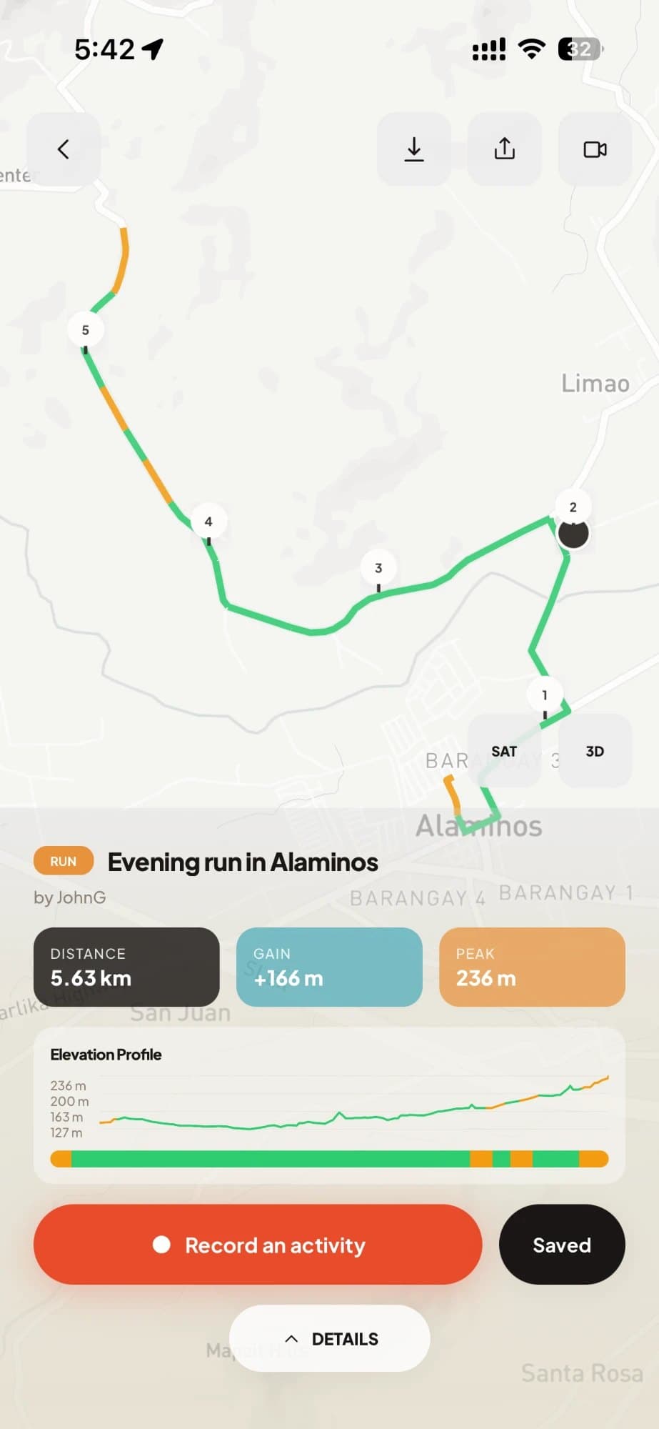
Tap your start. Tap your stops. Rootah connects them along real roads.
No straight lines through someone’s backyard. Distance and elevation update as you build, and every hill is shaded by how steep it is. Drag a point to reshape the route. Close a loop in one tap.
Press start. Rootah keeps the score.
Record any activity with your phone: distance, time, pace or speed, and climb.
Pace, speed or knots. Whatever you’re doing.
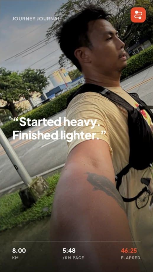
Pace for runs, hikes and walks. Speed for rides and drives. Knots for sailing. Every finish gets a share card, ready for your story.
Let the people at home follow along.
Share a live link before you head out. Family and friends see where you are, in the app or any phone browser. If something goes wrong, raise an SOS and everyone watching sees it with your location.
No signal? Keep going.
Your activity is saved on your phone and uploads when you’re back in range.
Stay on route. Snap the view.
Rootah tells you when you go off course. Photos you take are pinned to where you took them.
Routes people have actually finished.
A route gets the Verified mark when people really complete it, checked against their GPS. No more planned-but-never-run loops through private land or flooded roads. Every verified route shows how recently someone got through.
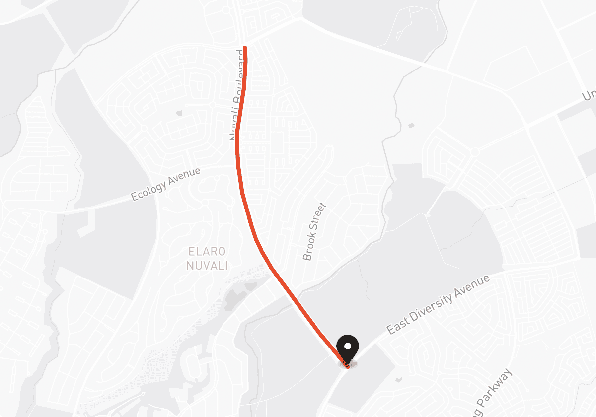
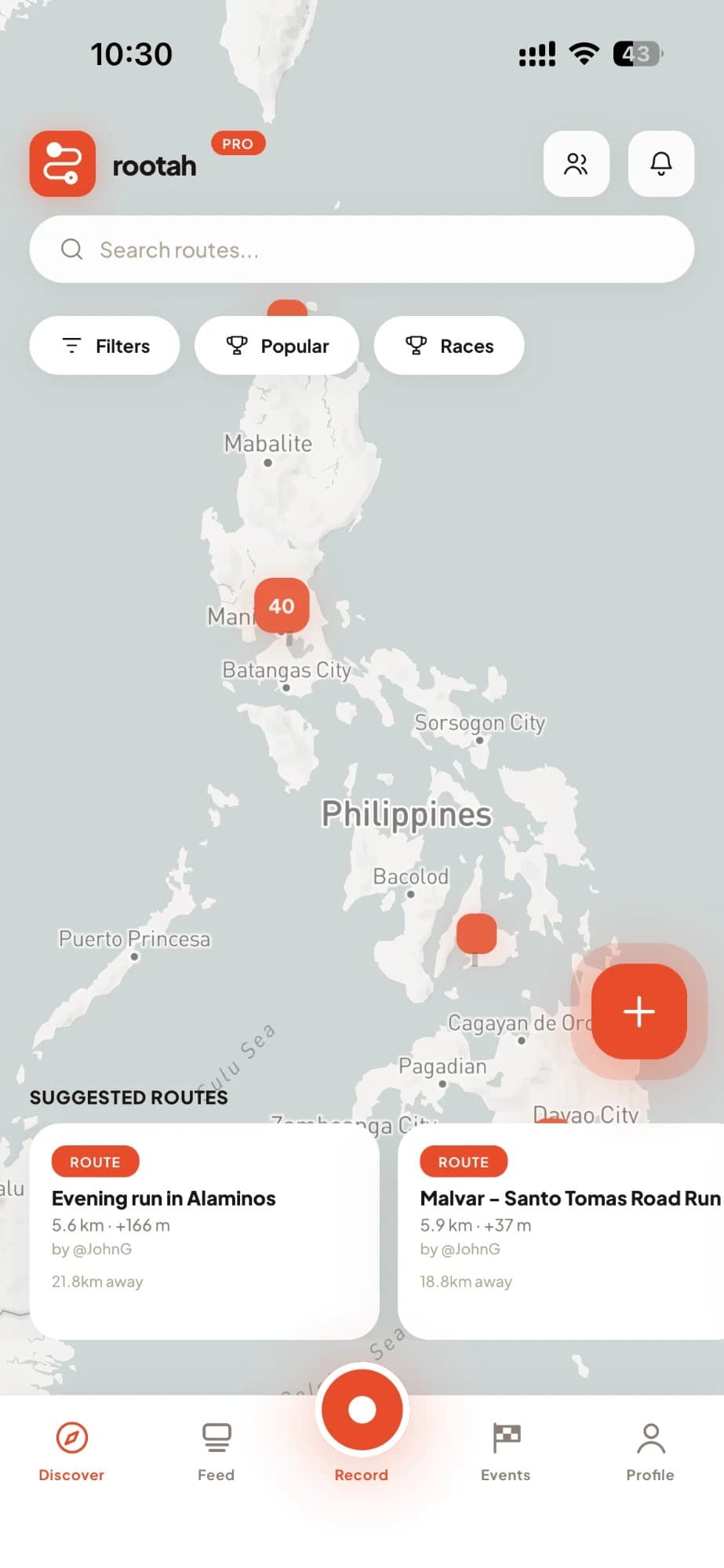
Find your next route near you.
Browse public routes on the map. Filter by activity, distance, climb or city. See the top routes in your city, read reviews from people who’ve done them, and save the ones you want to try.
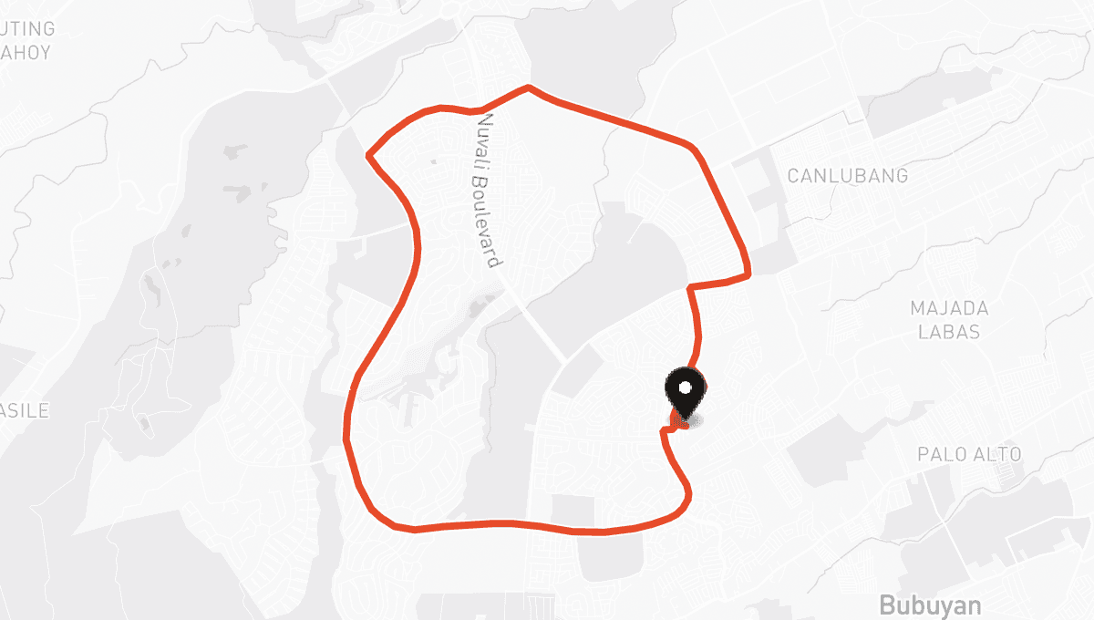
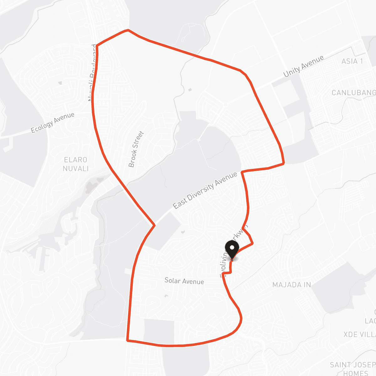
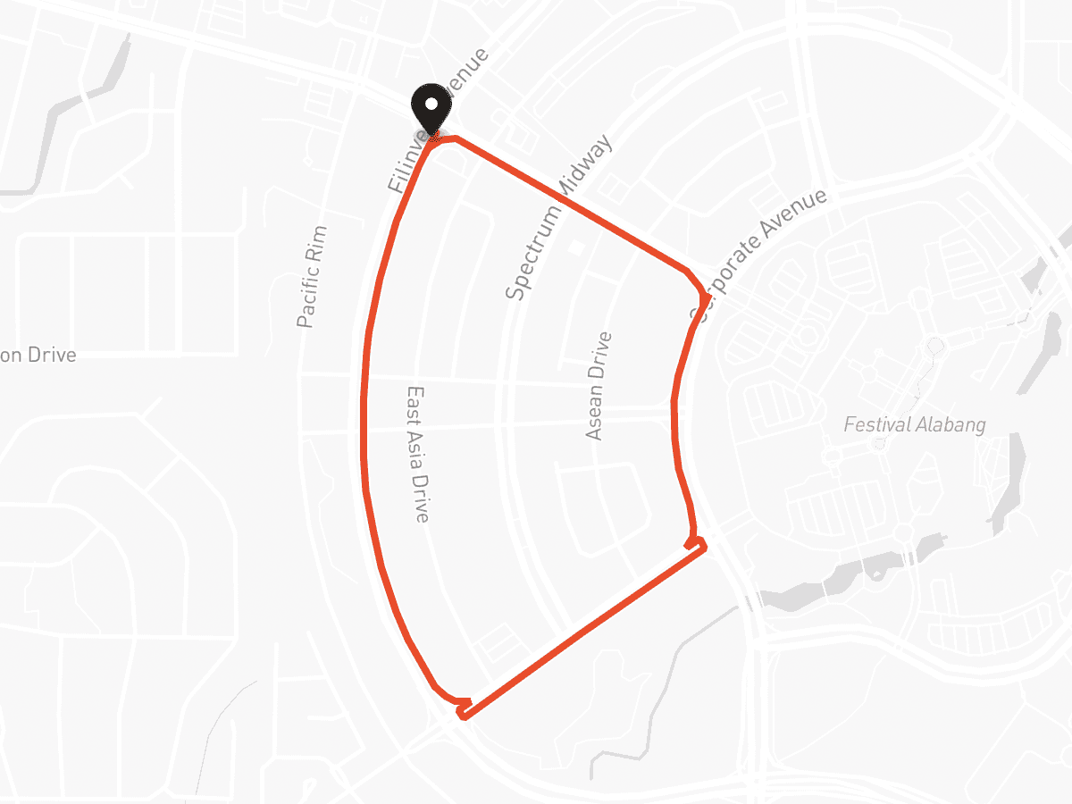
Your people, your activities, no noise.
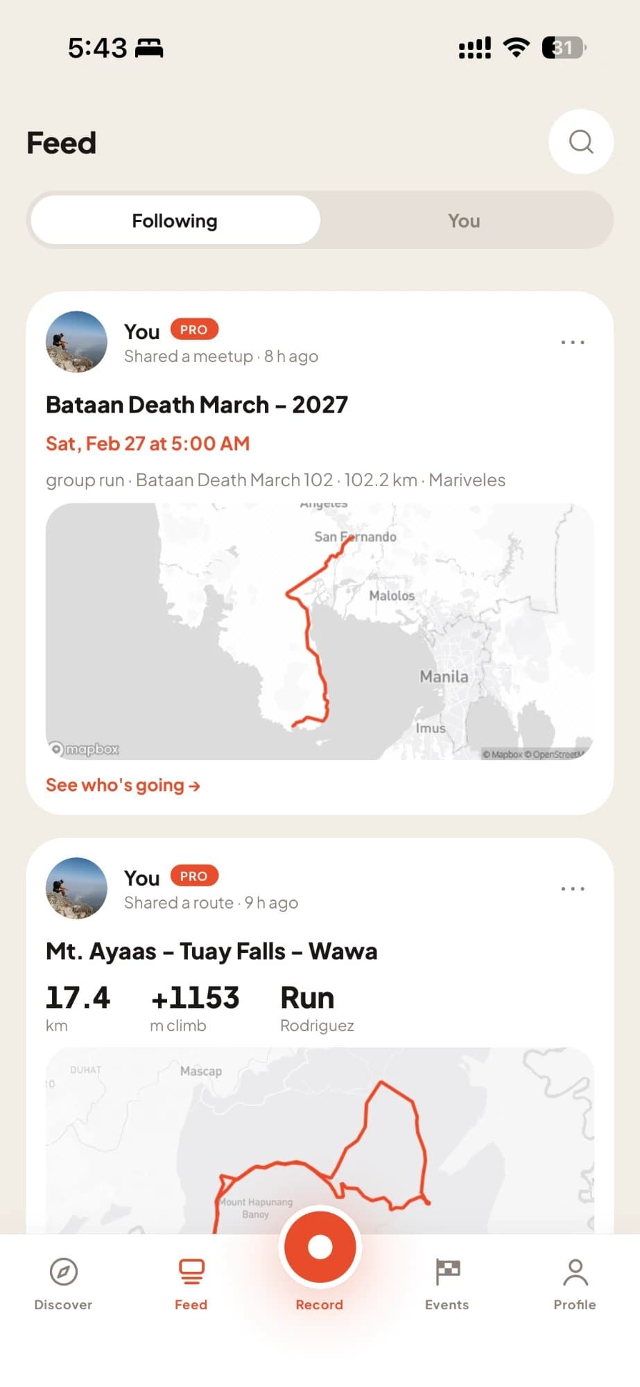
Follow friends and clubmates. See their activities in your feed, with the map, the stats and the photos. Cheer them on with a tap. No comment wars, no algorithm deciding what you see. Just the people you follow, newest first.
You decide who sees what. Every time.
Better with a group.
Meetups on any route.
A Saturday long run, a Sunday ride, a sunrise hike. People RSVP in the app, see the route and climb ahead of time, and get reminders before you go. Share it to your feed or anywhere else with one link.
Start a club. Free.
Give your crew a home: members, meetups and routes in one place, with a public club page anyone can join from.
For the journeys that take weeks, not hours.
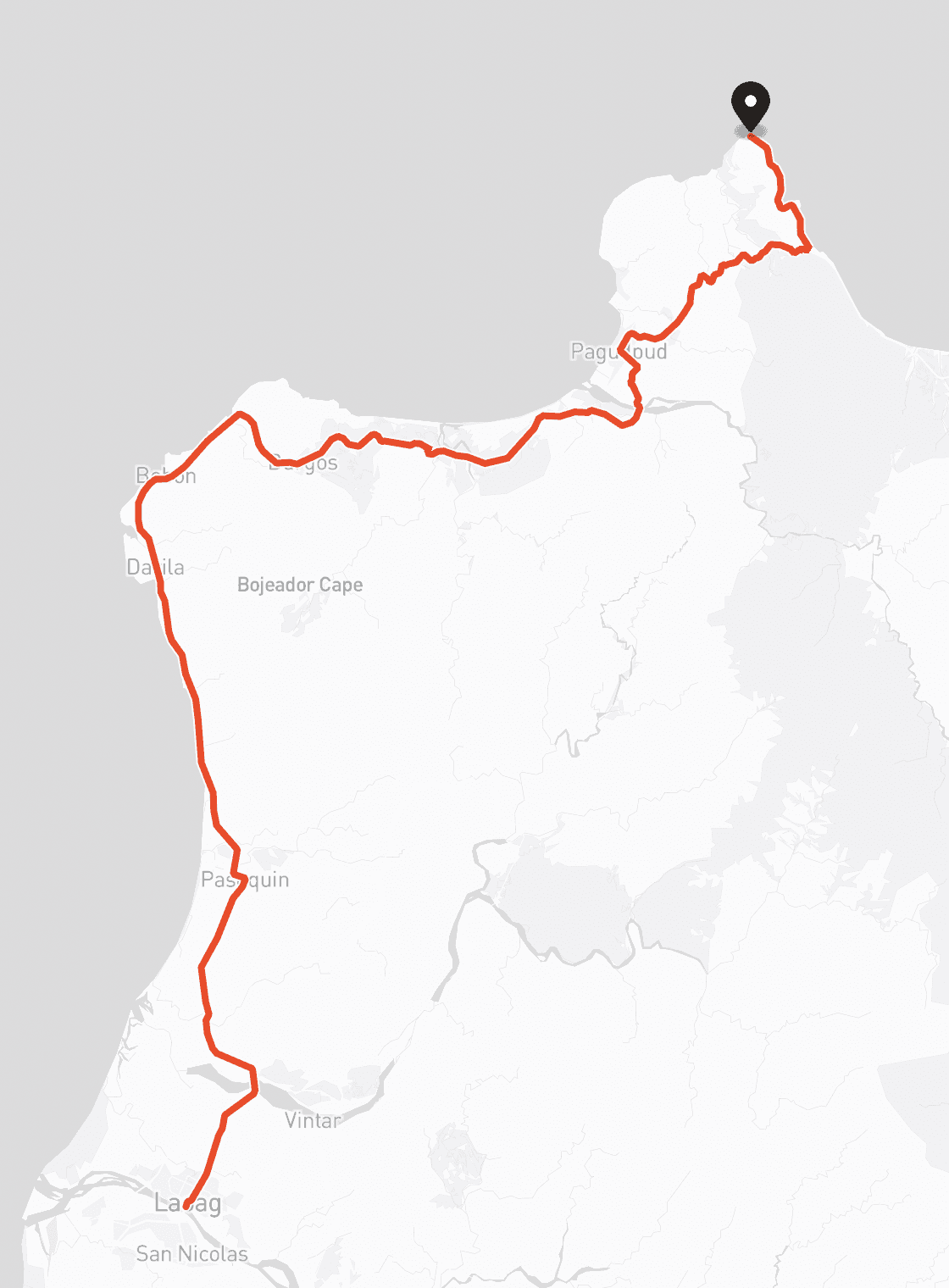
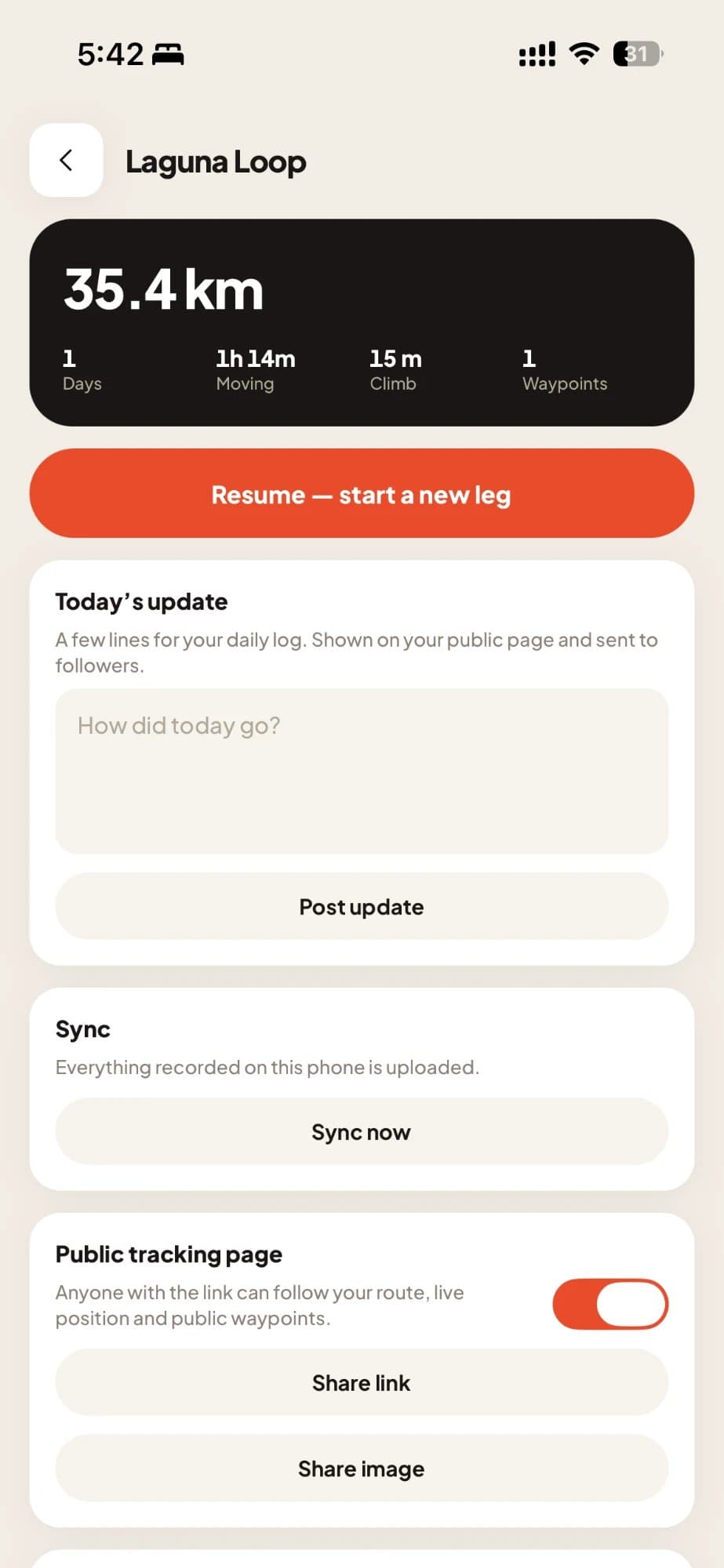
Walking the length of Luzon? Cycling the islands? Expedition mode records a multi-day journey leg by leg, with today’s stats and the running total for the whole trip.
Supporters follow along on a live page with your photos and daily progress, cheer you on, and see how close you are so they can join you on the road.
Start free. Go Pro when you want more.
- Plan and save routes
- Record any activity
- Live tracking and SOS
- Follow, cheer and share
- Join meetups
- Start a club
- Full privacy controls
- Everything in Free, plus:
- Longer routes
- Unlimited saved routes
- GPX import
- 3D flyby video
- Recurring meetups
- Bigger clubs
- The Pro badge
Questions, answered.
Do I need a GPS watch?
No. Your phone records everything. If you have a Garmin or Coros, export any route as GPX.
Does it work without signal?
Yes. Recording keeps going offline and uploads when you’re back in range.
Who can see my activities?
Only who you choose: everyone, followers, or only you, set per activity.
Is it only for runners?
No. Rootah covers runs, trail runs, hikes, walks, rides, motorcycle trips, drives and sailing.
Is it free?
Yes, to start. Rootah Pro unlocks longer routes and extra tools.
Where does Rootah work?
Anywhere with a map. We started in the Philippines, and most routes are here for now.
Your next route starts with one tap.
Download Rootah free and map your first route today. No watch needed.
Download on theApp StoreComing soon onGoogle PlayOr try it on the web at app.rootah.com